The Wandering Donkeys © Made With Serif WebPlus. Friends of the Donkeys | Contact Us | Terms & Conditions | Advertise


Kalgoorlie to Port Augusta
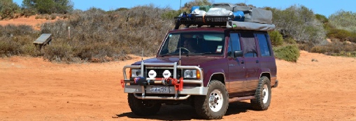
This part of the journey will take us across the Nullabor, the geographical barrier that divides eastern and western Australia. We have been pre-warned of stock, kangaroos, camels and wombats on the road at night. And sometimes the highways are used as emergency landing strips for the Flying Doctor. We are expecting to see vast arid country, rugged cliffs, limestone caves and rocky gullies.
This area also boats the longest length of straight road in the world, a staggering 145km!! The total distance of this leg of the trip will be 1687km
Total Distance: 1687km
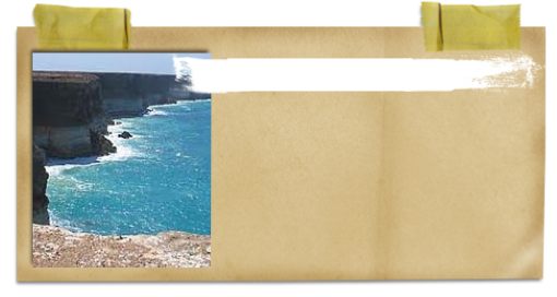
The Bunda cliffs is an aboriginal name which has been used in South Australia for the name of the Nullarbor coastal cliffs.
The cliffs stretch for 100km along the Great Australian Bight. Some parts of the cliffs are 60 to 100m high.
The Bunda Cliffs

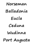
NORSEMAN ~ Balladonia ~ Caiguna ~ Cocklebiddy ~ Madura ~ Mundrabilla ~ Eucla ~ Border Village ~ Nullarbor Roadhouse ~ Yalata Roadhouse ~ Nundroo ~ Penong ~ CEDUNA ~ Wirrulla ~ Poochera ~ Minnipa ~ Wudinna ~ Kyancutta ~ Kimba ~ Iron Knob ~ PORT AUGUSTA
